Page Last Updated: March 17, 2015
|
|
Page Last Updated: March 17, 2015 |
| ID | Elevation of Instrument in Gage Height |
Elevation of Instrument in Datum |
Period |
| Station was permanently removed from service on 02/24/2009 | |||
| 4947 | 8.55 feet | 2,942.16 feet NGVD 1929 | 03/28/2006 -- 02/24/2009 |
| 4948 | 2.80 feet | 2,936.41 feet NGVD 1929 | 09/08/2005 -- 02/24/2009 |
| 4948 | 0.00 feet | 2,933.61 feet NGVD 1929 | 07/19/2005 -- 09/03/2005 |
| STATUS | Permanently removed from service |
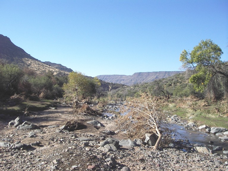
| LOCATION | About 5 miles west of the Seven Springs Campgrounds |
| DRAINAGE AREA | 41 mi2 |
| STREAM TYPE | Natural Stream |
| JURISDICTION | Maricopa County, Arizona |
| WATERSHED | Cave Creek |
| SECTION/TOWNSHIP/RANGE | S11 T7N R4E |
| LATITUDE | N 33° 58' 03.5" | +33.9676 |
| LONGITUDE | W 111° 54' 57.6" | -111.9160 |
| ARIZONA STATE PLANE | E 700154 | N 1079587 |
| USGS QUAD SHEET | New River Mesa 7.5-Minute |
| STREAMGAGE INSTALLATION DATE | 07/19/2005 - WY 2005 |
| PERIOD OF AVAILABLE DATA RECORD | 07/19/2005 - 02/24/2009 |
| LENGTH OF AVAILABLE DATA RECORD (AS OF 10/01/2008) | 3.20 Years |
| GAPS (> 2 DAYS) IN RECORD | None |
| STAGE GAGE TYPE | None |
| LOWER STAGE GAGE ELEVATION (4948) | |
| UPPER STAGE GAGE ELEVATION (4947) | |
| STAFF GAGES | 0 |
| CREST STAGE GAGES | 0 |
| ZERO GAGE HEIGHT ELEVATION | 2,933.61 feet NGVD 1929 |
| POINT OF ZERO FLOW | 0.5 feet Gage Height |
| EXTREME FOR PERIOD OF RECORD | 17,500 cfs | 11.50 feet | 09/03/2005 |
| Estimated Time for Runoff to Spur Cross Streamgage, 8.2 miles downstream | ||
| Discharge (cfs) | Gage Height (feet) | Time (minutes) |
| 500 | 3.14 | 128 |
| 2,000 | 5.24 | 91 |
| 10,000 | 9.98 | 50 |
| Current Rating = #1 - Applied since 07/19/2005 | |||
| Gage Height (feet) |
Discharge (cfs) |
Gage Height (feet) |
Discharge (cfs) |
| 0.00 | 0 | 6.56 | 3,000 |
| 3.92 | 500 | 7.73 | 5,000 |
| 4.68 | 1,000 | 9.84 | 10,000 |
| 5.79 | 2,000 | 12.14 | 20,000 |
| Water Year |
Peak Gage Height (feet) |
Peak Discharge (cfs) |
Date of Peak |
| 2009 | 4.82 | 1,117 | 02/09/2009 |
| 2008 | 6.95 | 3,603 | 01/27/2008 |
| 2007 | 5.72 | 1,935 | 09/01/2007 |
| 2006 | 7.95 | 5,438 | 07/30/2006 |
| 2005 | 11.50 | 17,500 | 09/03/2005 |
| Date of Peak |
Time of Peak |
Runoff Start |
Runoff End |
Duration (hours) |
Peak Stage (feet GH) |
Peak Discharge (CFS) |
Water Year |
| View a Graph of These Data | |||||||
| 02/09/2009 | 22:08 | 02/09/2009 21:08 | 02/10/2009 00:52 | 3.7 | 4.82 | 1,117 | 2009 |
| 09/10/2008 | 20:51 | 09/10/2008 20:49 | 09/10/2008 22:46 | 2.0 | 4.62 | 961 | 2008 |
| 01/27/2008 | 14:39 | 01/27/2008 12:16 | 01/29/2008 09:48 | 45.5 | 6.95 | 3,603 | 2008 |
| 01/07/2008 | 13:21 | 01/07/2008 11:47 | 01/07/2008 17:40 | 5.9 | 4.28 | 723 | 2008 |
| 12/08/2007 | 04:25 | 12/08/2007 02:57 | 12/08/2007 10:30 | 7.6 | 4.38 | 789 | 2008 |
| 12/01/2007 | 14:57 | 12/01/2007 00:10 | Data Unavailable | 5.12 | 1,374 | 2008 | |
| 09/22/2007 | 16:15 | 09/22/2007 16:11 | 09/22/2007 19:10 | 3.0 | 3.27 | 121 | 2007 |
| 09/01/2007 | 18:18 | 09/01/2007 17:11 | 09/22/2007 19:10 | 4.6 | 5.72 | 1,935 | 2007 |
| 07/31/2007 | 20:07 | 07/31/2007 19:46 | 08/01/2007 00:44 | 5.0 | 5.62 | 1,837 | 2007 |
| 10/14/2006 | 10:28 | 10/14/2006 08:47 | 10/14/2006 12:31 | 3.7 | 3.95 | 518 | 2007 |
| 09/09/2006 | 10:16 | 09/09/2006 10:02 | 09/06/2006 11:31 | 1.5 | 5.53 | 1,741 | 2006 |
| 09/03/2006 | 22:03 | 09/03/2006 21:58 | 09/03/2006 23:27 | 1.5 | 6.88 | 3,483 | 2006 |
| 08/10/2006 | 15:17 | 08/10/2006 15:16 | 08/10/2006 17:25 | 2.2 | 4.70 | 1,016 | 2006 |
| 08/08/2006 | 16:33 | 08/08/2006 16:33 | 08/08/2006 17:54 | 1.4 | 4.85 | 1,138 | 2006 |
| 07/30/2006 | 00:59 | 07/29/2006 23:50 | 07/30/2006 09:55 | 10.1 | 7.95 | 5,438 | 2006 |
| 11/11/2005 | 10:04 | 11/11/2005 09:34 | 11/11/2005 12:01 | 2.5 | 3.45 | 203 | 2006 |
| 10/17/2005 | 23:22 | 10/17/2005 23:16 | 10/18/2005 18:33 | 19.3 | 3.85 | 449 | 2006 |
| 09/03/2005 | 18:09 | 09/03/2005 17:16 | 09/04/2005 02:04 | 8.8 | 11.50 | 17,500 | 2005 |
| 08/11/2005 | 15:43 | 08/11/2005 13:46 | 08/11/2005 17:02 | 3.3 | 3.80 | 458 | 2005 |
| 08/09/2005 | 15:34 | 08/09/2005 15:33 | 08/09/2005 18:21 | 2.8 | 3.75 | 441 | 2005 |
| 07/31/2005 | 18:44 | 07/31/2005 18:41 | 07/31/2005 20:11 | 1.5 | 4.25 | 693 | 2005 |
| 07/29/2005 | 20:26 | 07/29/2005 20:23 | 07/29/2005 20:43 | 0.3 | 2.33 | 64 | 2005 |
| 07/24/2005 | 00:12 | 07/24/2005 00:02 | 07/24/2005 01:06 | 1.1 | 2.40 | 78 | 2005 |
| Crest Gage Number | Pin Elevation (Feet, Gage Height) |
Additional Information |
| 1 | 2.50 | Located with transducer on right bank |