
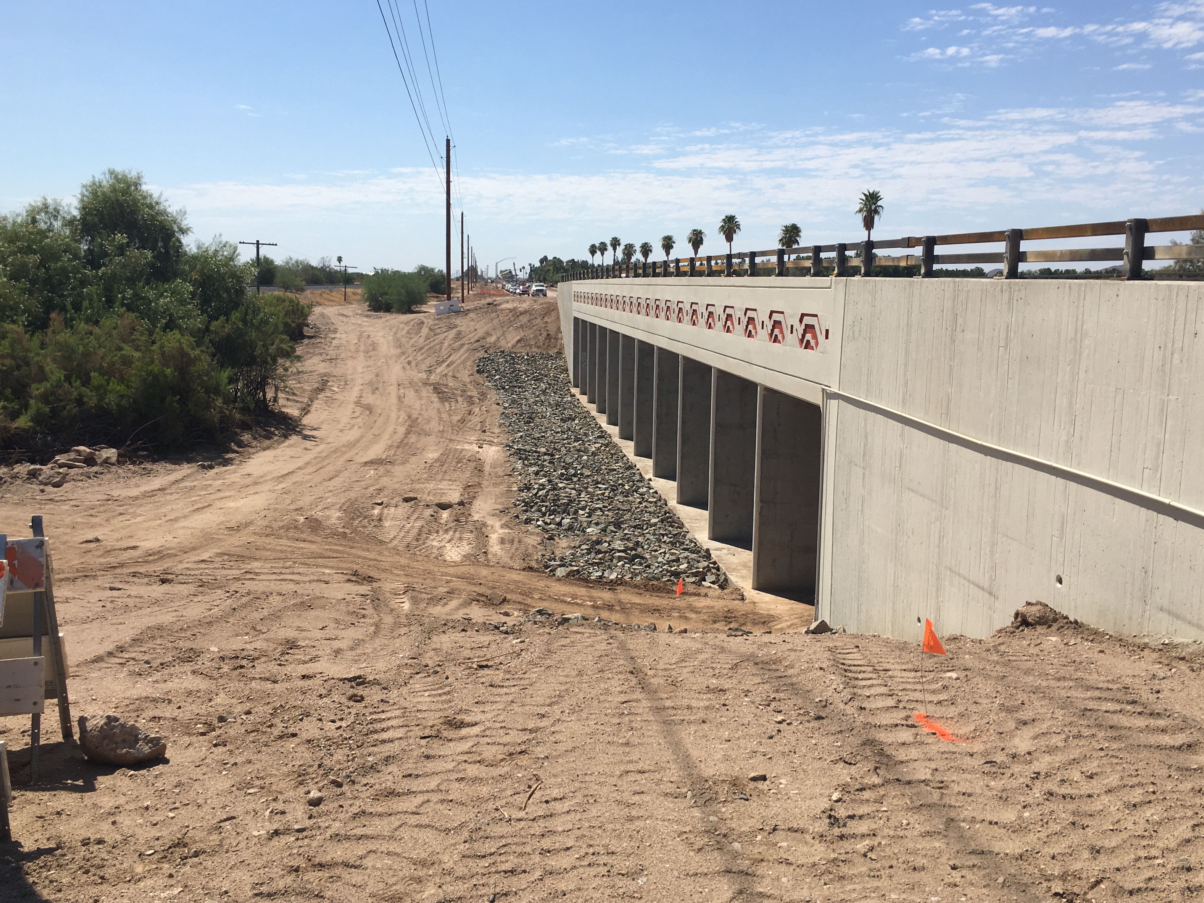
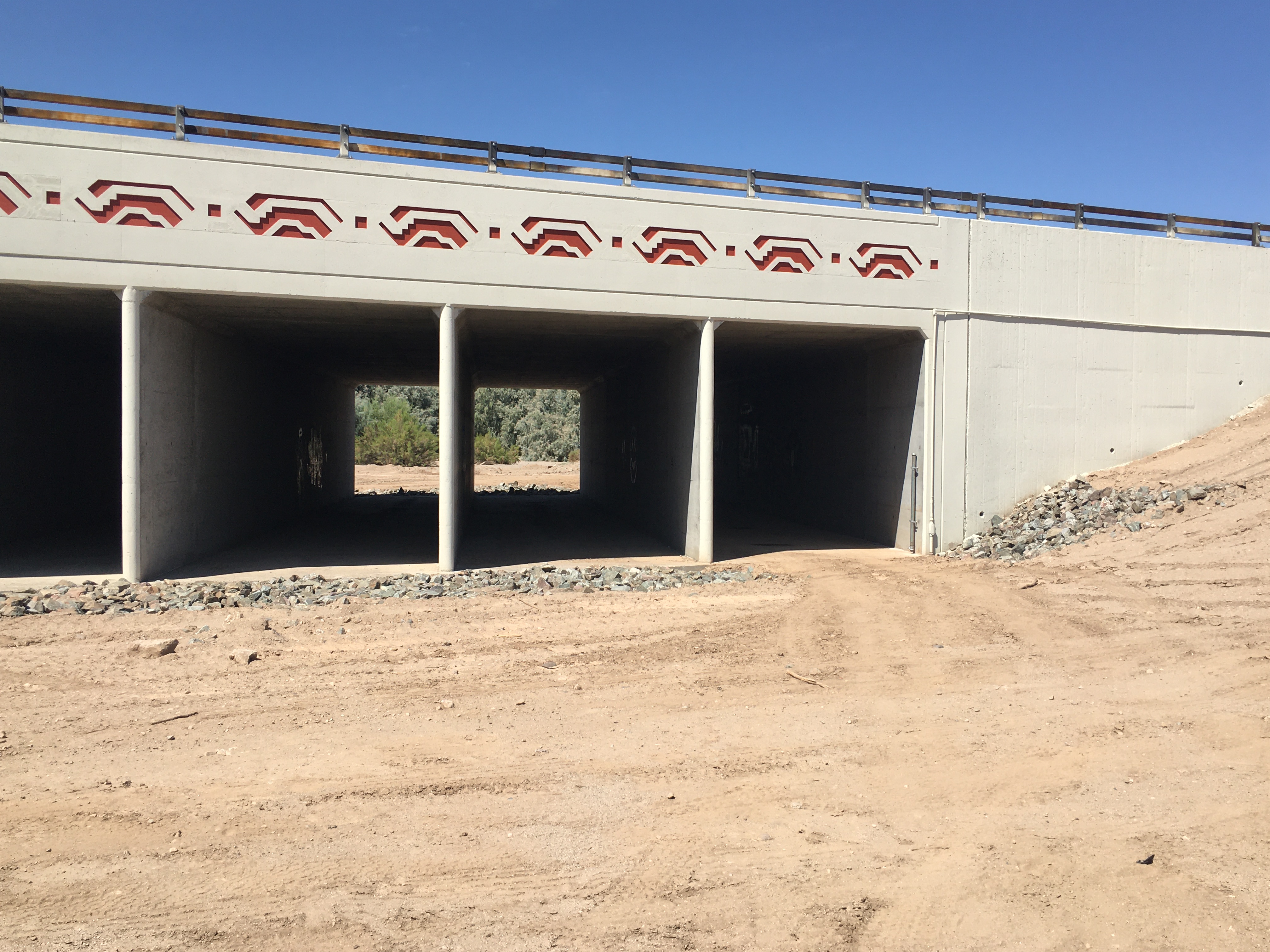
| LOCATION | Located at the Rittenhouse Road crossing of Queen Creek. |
| WHAT IS TO BE OBSERVED | A staff gage painted on the upstream side of the Rittenhouse Road bridge in the culvert. Viewable from northeast corner of Rittenhouse Road crossing. |
|
View Larger Map |
| DRAINAGE AREA | 236 mi2 |
| JURISDICTION | Maricopa County, Arizona |
| WATERSHED | Upper EMF |
| SECTION/TOWNSHIP/RANGE | S25 T2S R7E |
| LATITUDE | N 33° 13' 48.7" | +33.2302 |
| LONGITUDE | W 111° 35' 38.8" | -111.5941 |
| ARIZONA STATE PLANE | E 798625 | N 811450 |
| USGS QUAD SHEET | Sacaton NE 7.5-Minute |
| STAFF GAGES | 1 |
| ZERO GAGE HEIGHT ELEVATION | 1,438.00 feet NAVD88 |
| STAFF GAGE RANGE | STAFF GAGE INFORMATION |
| 0 - 8 feet | Staff gage |
 |
|
Page Last Updated: August 2020 |