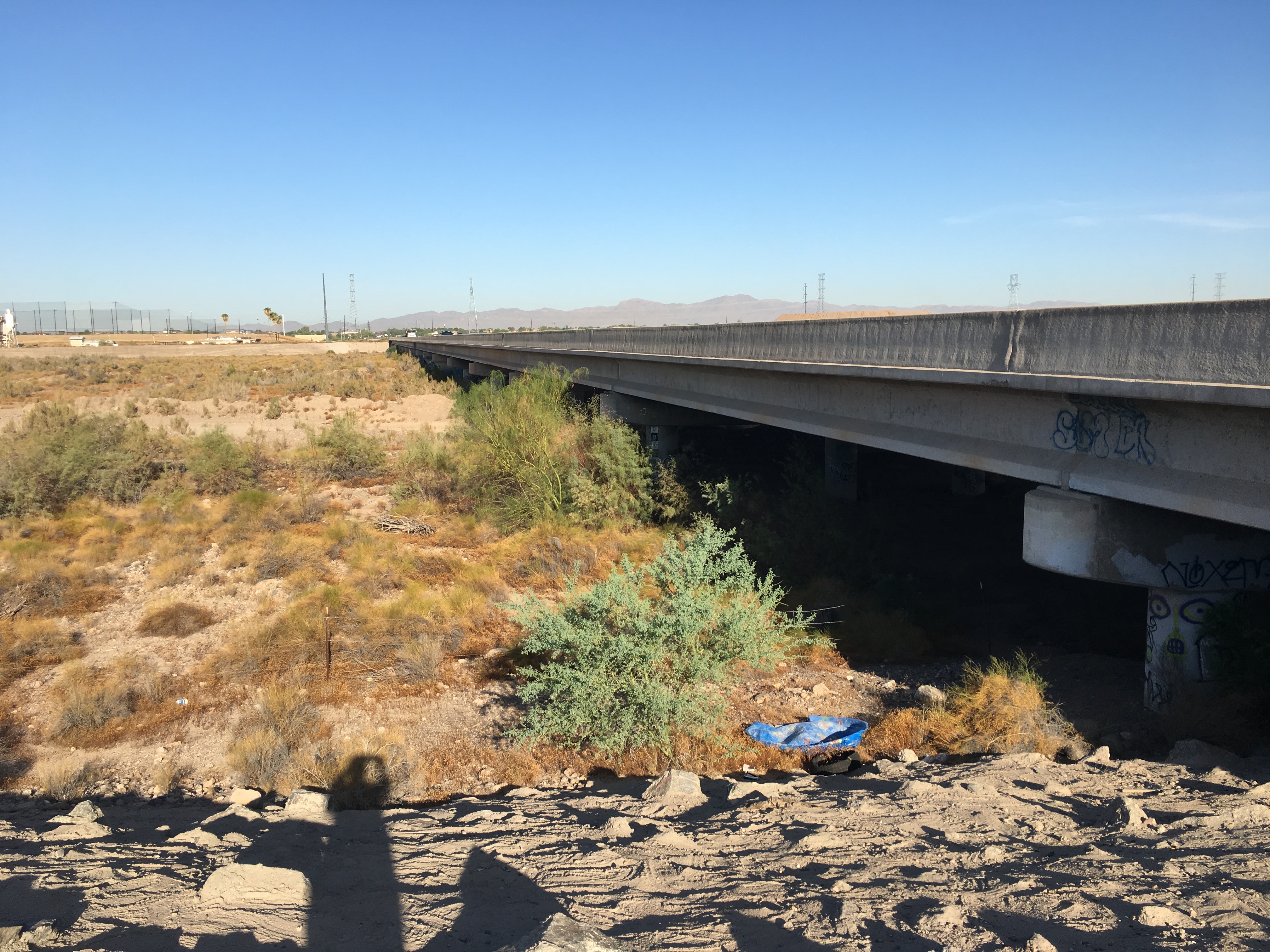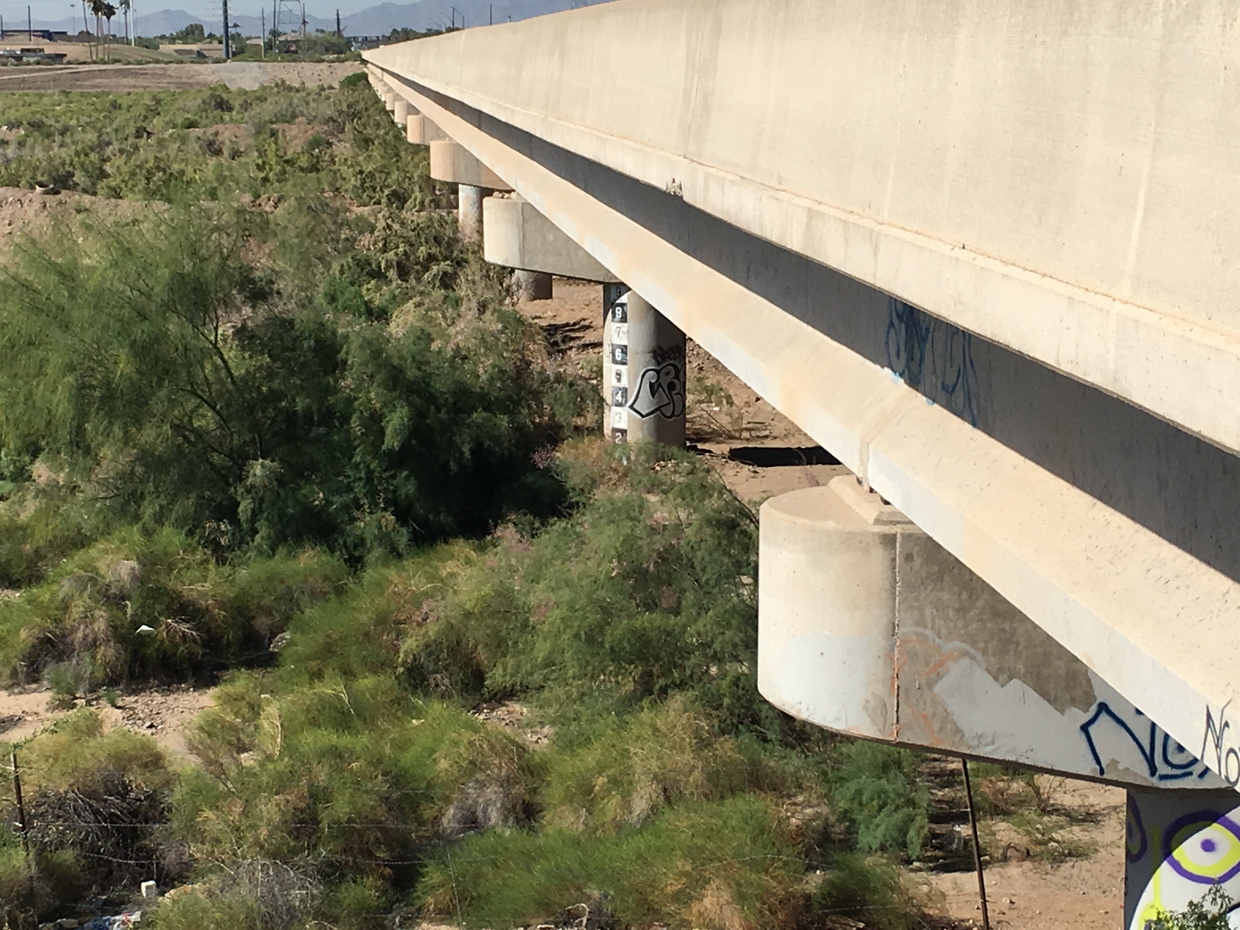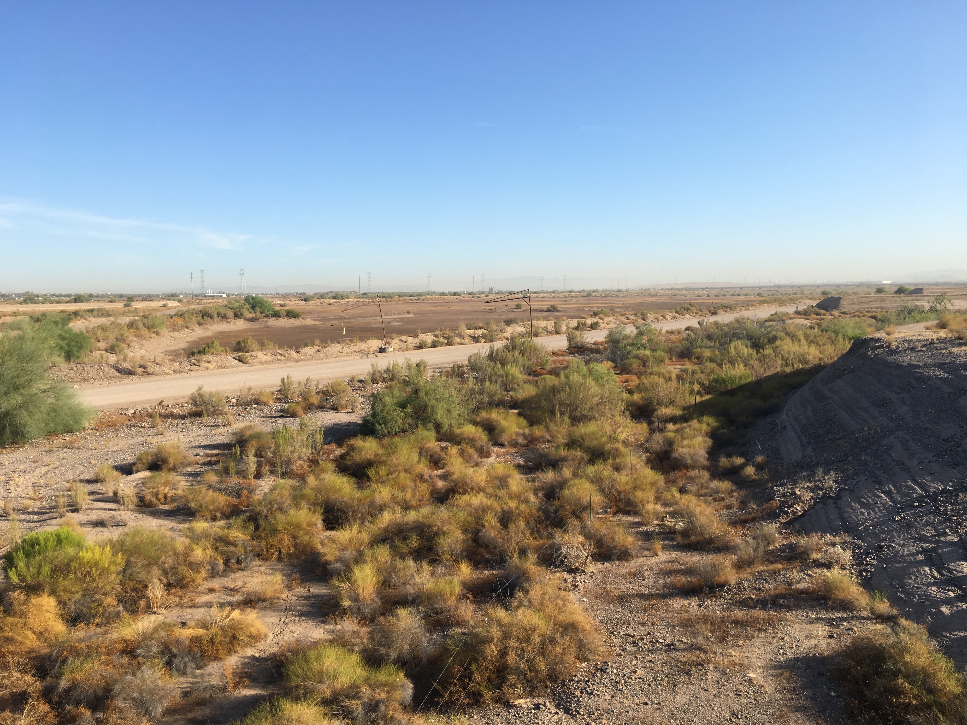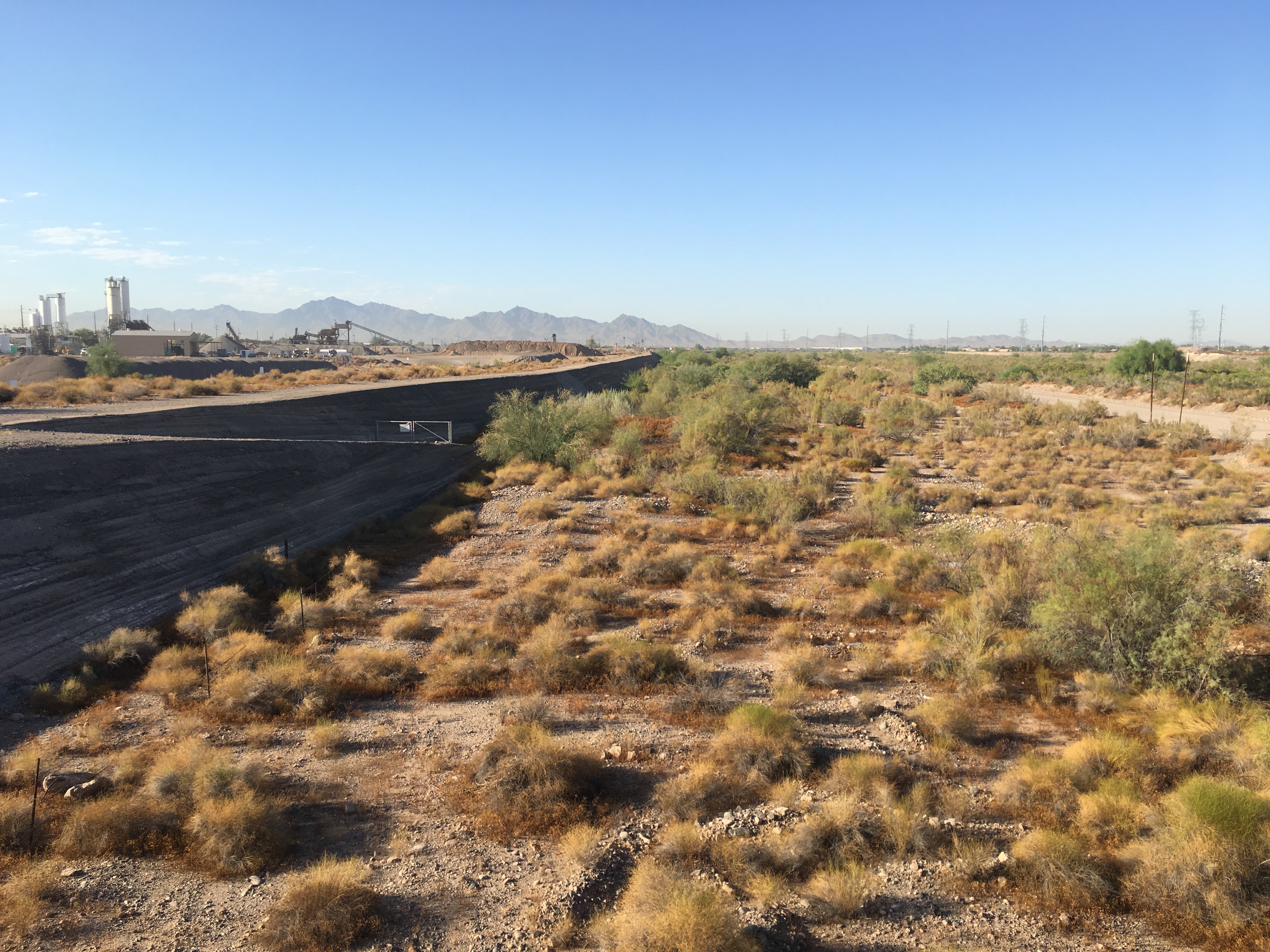


| LOCATION | Located at the Indian School Road bridge crossing of the Agua Fria River, about 1/2 mile east of El Mirage Road. |
| WHAT IS TO BE OBSERVED | There is one staff gage, best viewed from the southeast bank. |
|
View Larger Map |


| DRAINAGE AREA | Undetermined |
| JURISDICTION | Avondale, Arizona |
| WATERSHED | Lower ACDC |
| SECTION/TOWNSHIP/RANGE | S25 T2N R1W |
| LATITUDE | N 33° 29' 34.7" | +33.4930 |
| LONGITUDE | W 112° 18' 49.7" | -112.3138 |
| ARIZONA STATE PLANE | E 578930 | N 907125 |
| USGS QUAD SHEET | Tolleson 7.5-Minute |
| STAFF GAGES | 1 |
| STAFF GAGE ZERO ELEVATION (EAST) | 1,000.06 feet NGVD29 |
| STAFF GAGE RANGE | STAFF GAGE INFORMATION |
| 0 - 9 feet | Staff Gage |
 |
|
Page Last Updated: August 2020 |