| LOCATION |
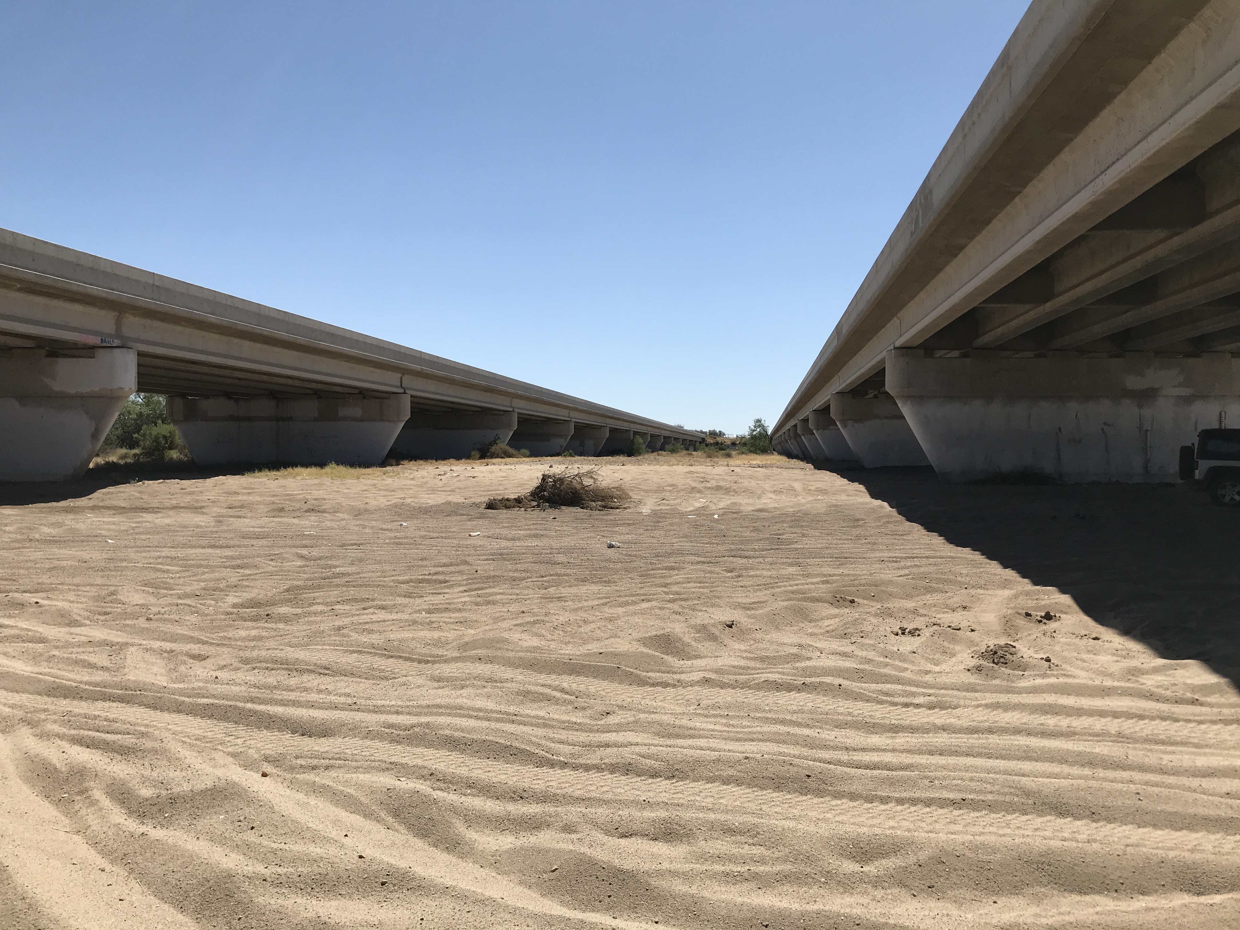
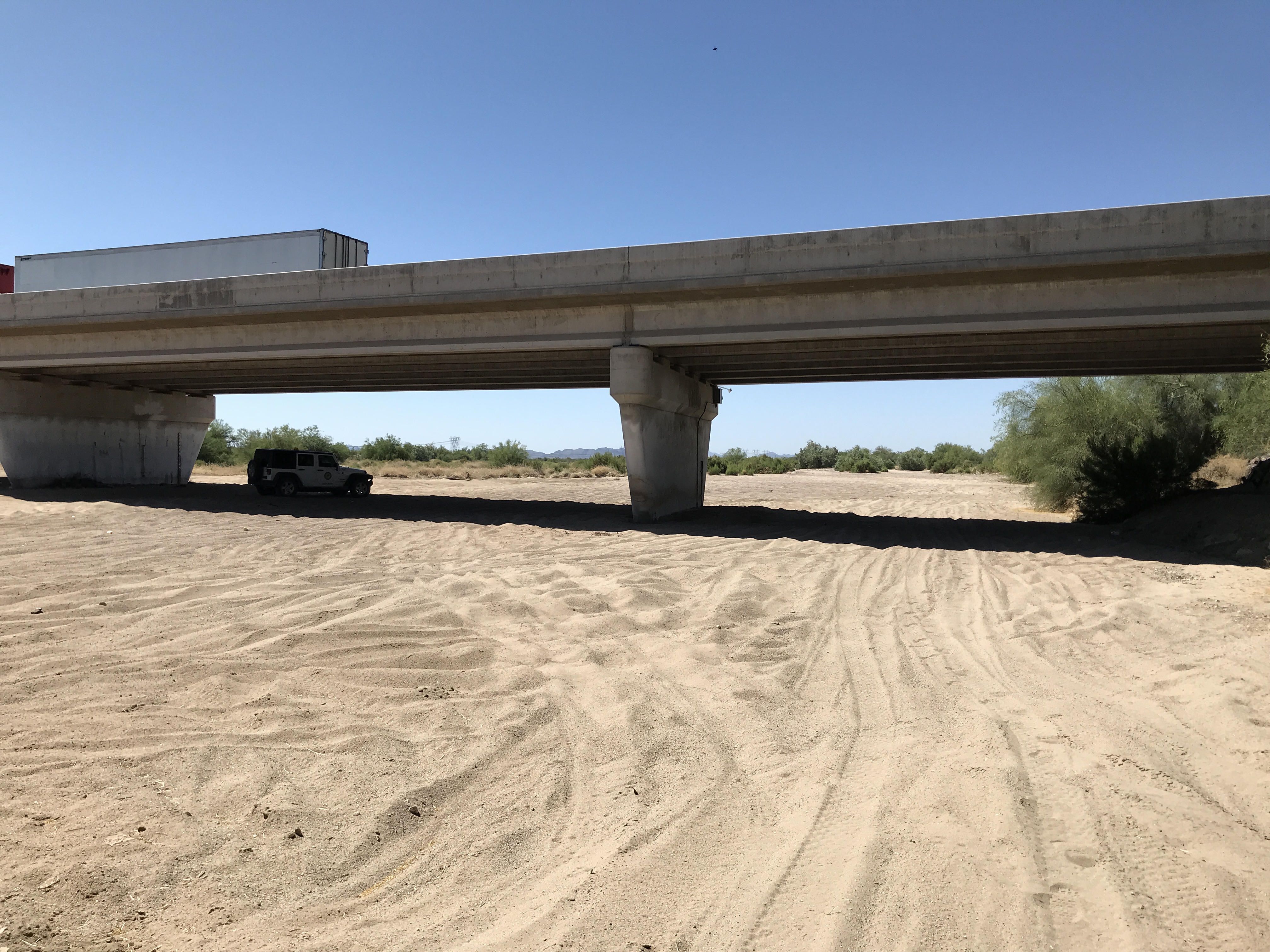
Located at the Hassayampa River crossing of Baseline Road. Access is from Palo Verde Road from the east, and from Salome Road and/or 339th Avenue from the west. |
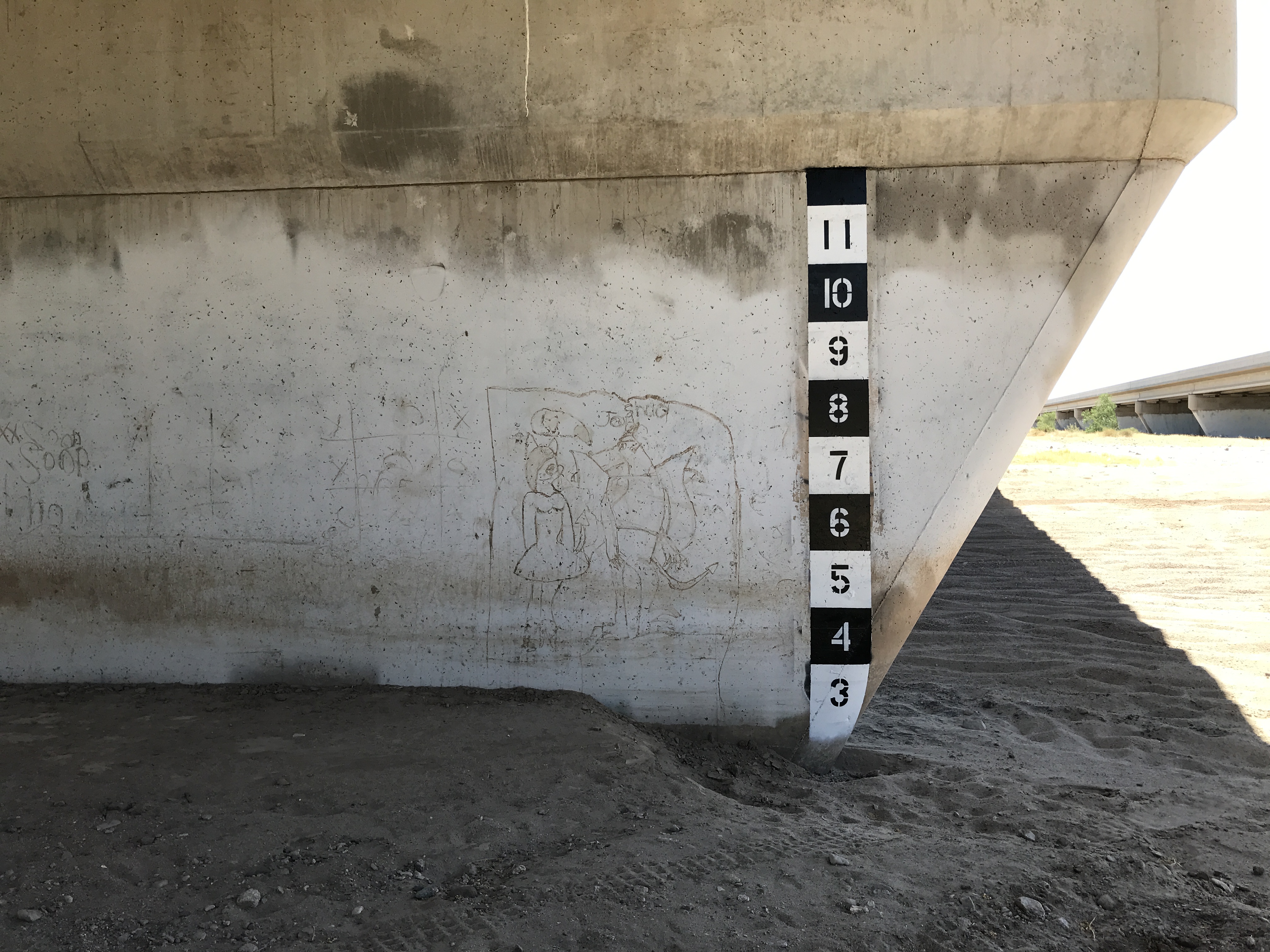
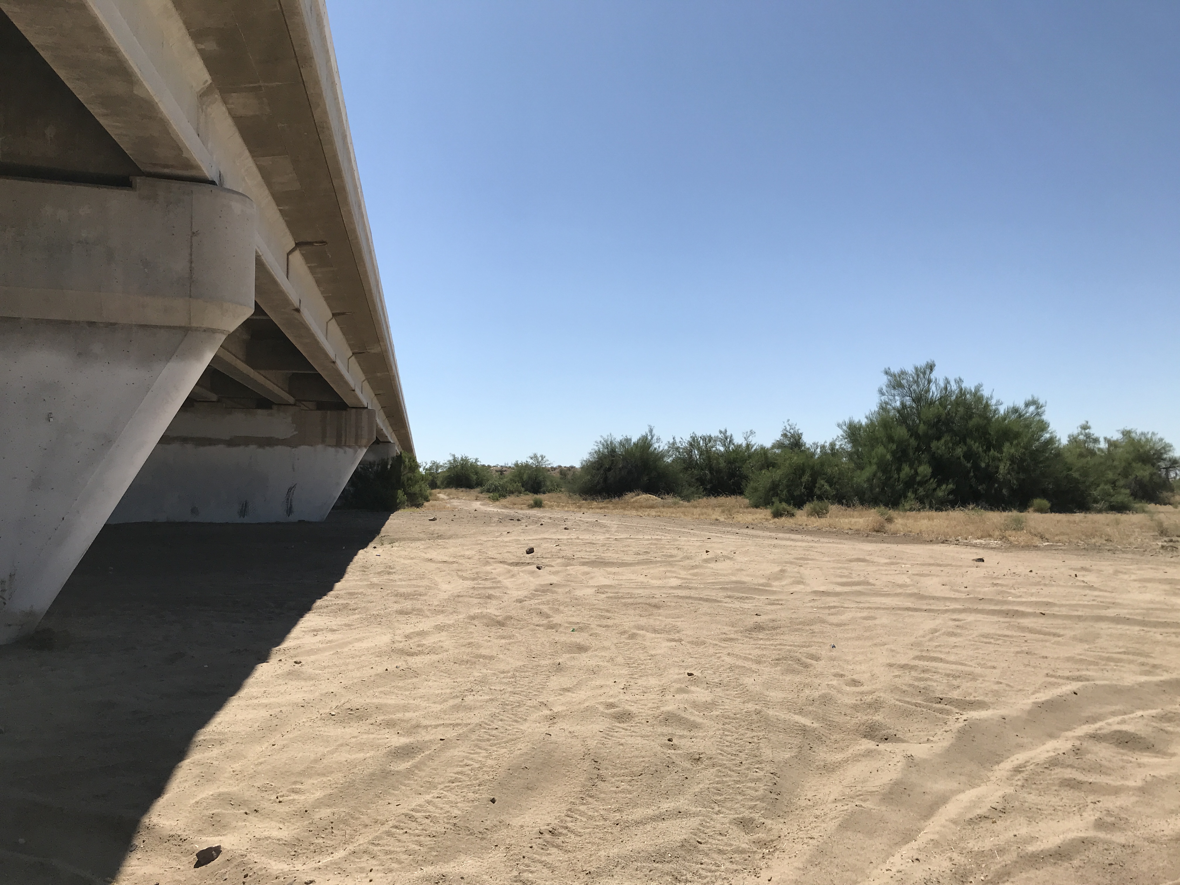
| WHAT IS TO BE OBSERVED | A staff gage viewable from the northwest bank on the westbound bridge pier. |
|
View Larger Map |
| DRAINAGE AREA | 1,600 mi2 (approximate) |
| JURISDICTION | Maricopa County, Arizona |
| WATERSHED | Lower Hassayampa |
| SECTION/TOWNSHIP/RANGE | S02 T1S R5W |
| LATITUDE | N 33° 22' 39.9" | +33.3778 |
| LONGITUDE | W 112° 44' 19.9" | -112.7389 |
| ARIZONA STATE PLANE | E 448982 | N 865939 |
| USGS QUAD SHEET | Buckeye NW 7.5-Minute |
| STAFF GAGES | 2 |
| ZERO GAGE HEIGHT ELEVATION | Staff Gage Datum. add 3.3 feet to match ALERT gage height |
| STAFF GAGE RANGE | STAFF GAGE INFORMATION |
| 0 - 8 feet | Staff Gage |
 |
|
Page Last Updated: July 2020 |