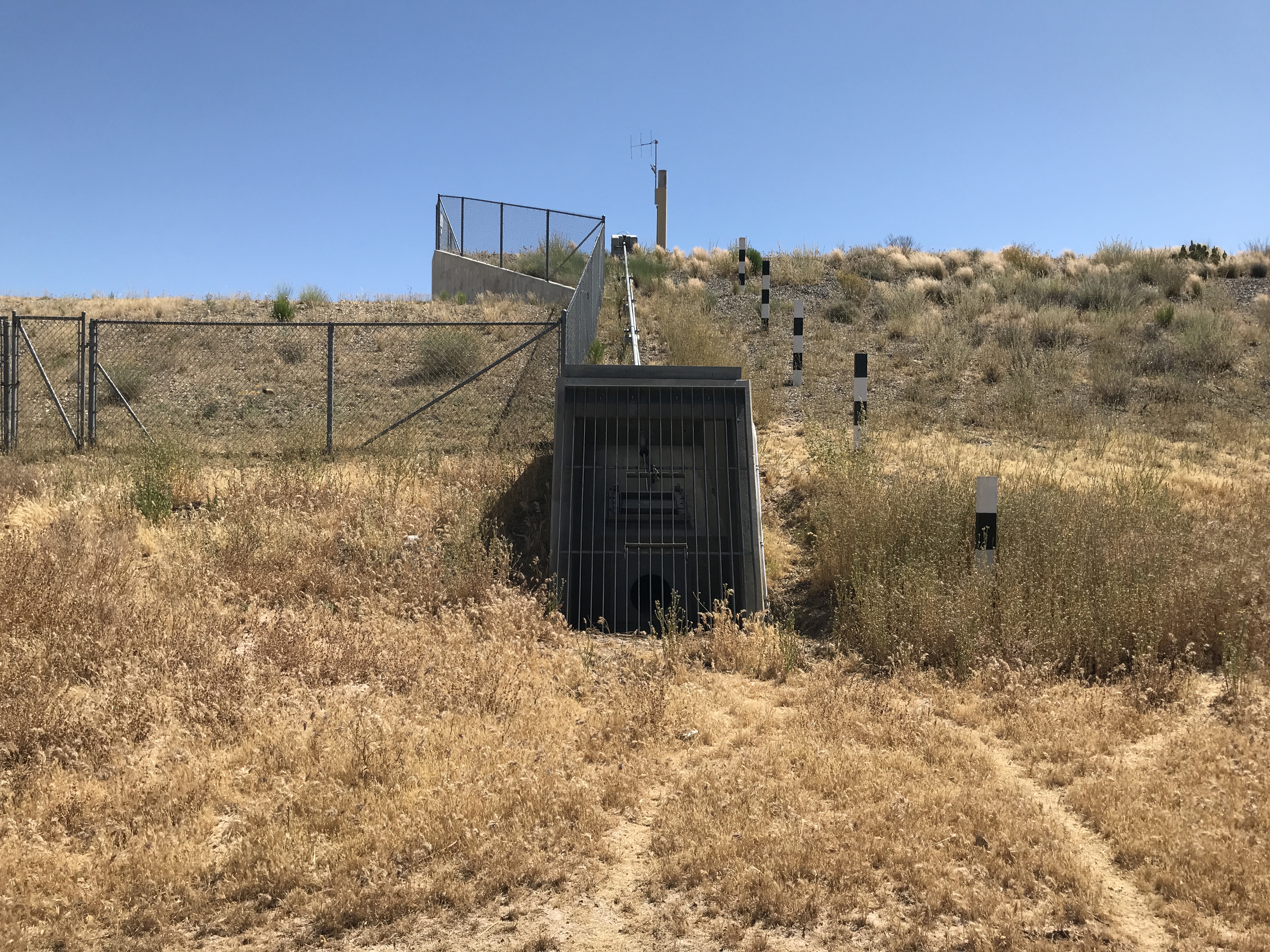
| LOCATION |
Located in Wickenburg, about a block west of Mariposa Drive and north of US60. Access is gained from US 60, turning north at an alley about 0.1 miles west of Mariposa Drive. |
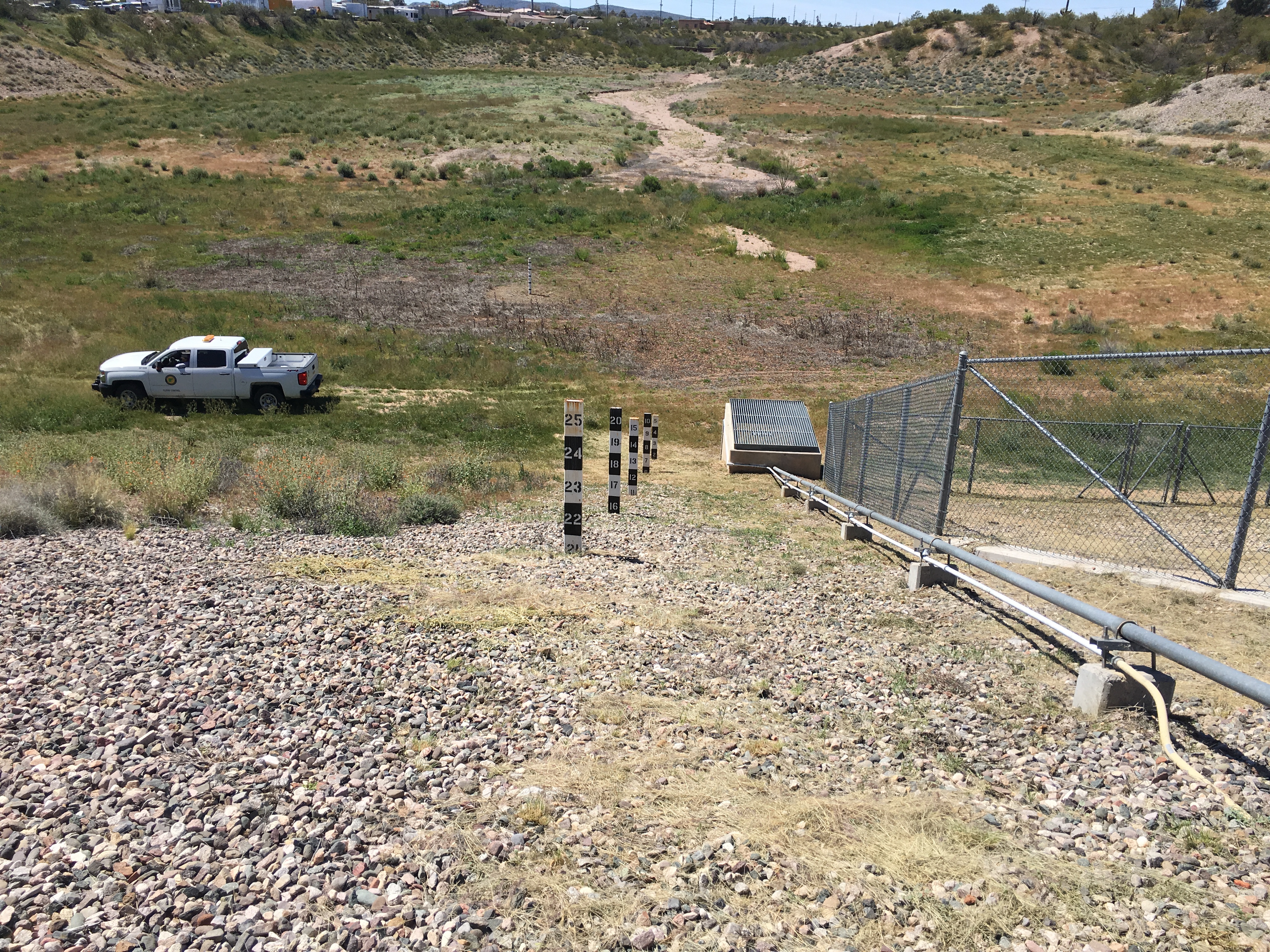
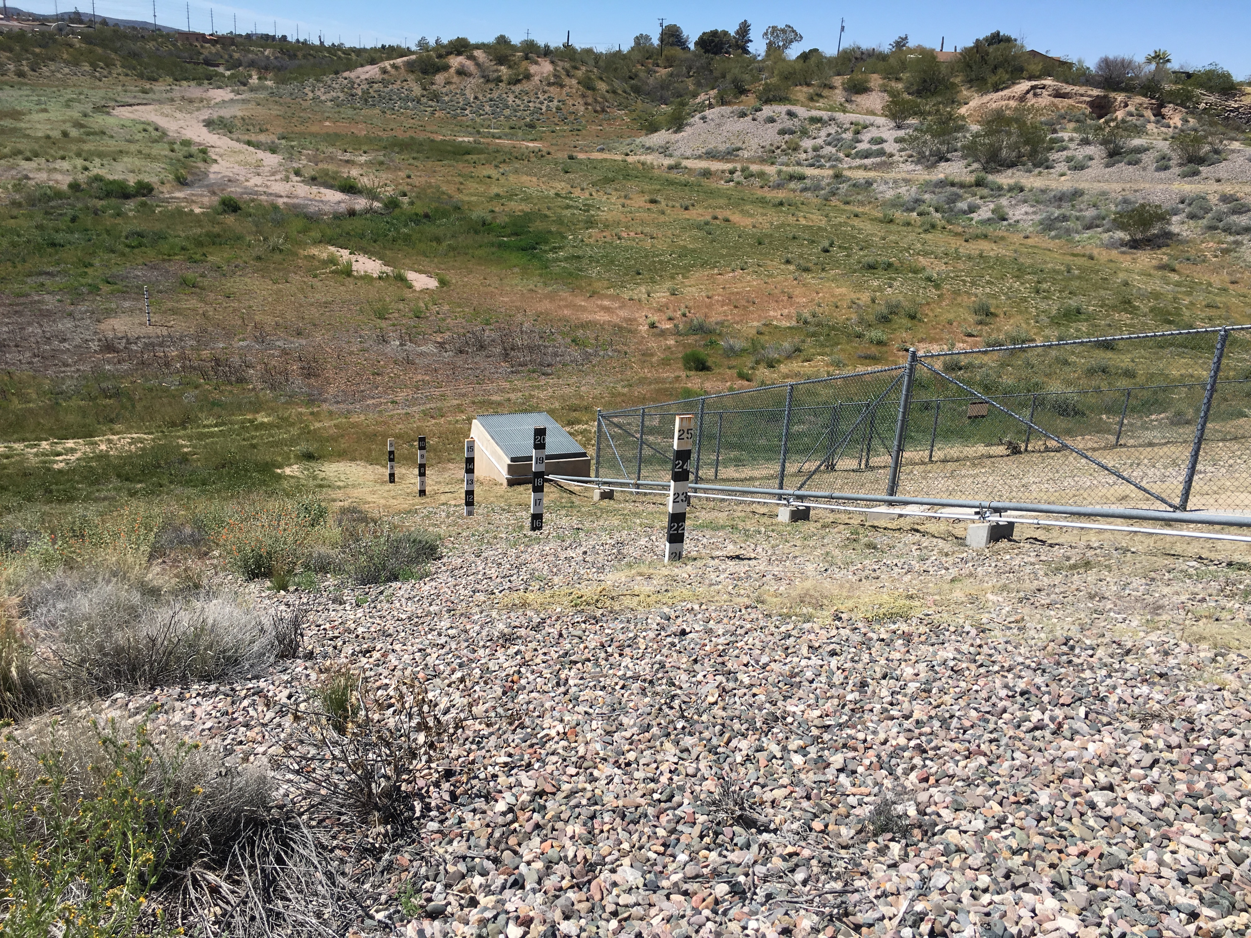
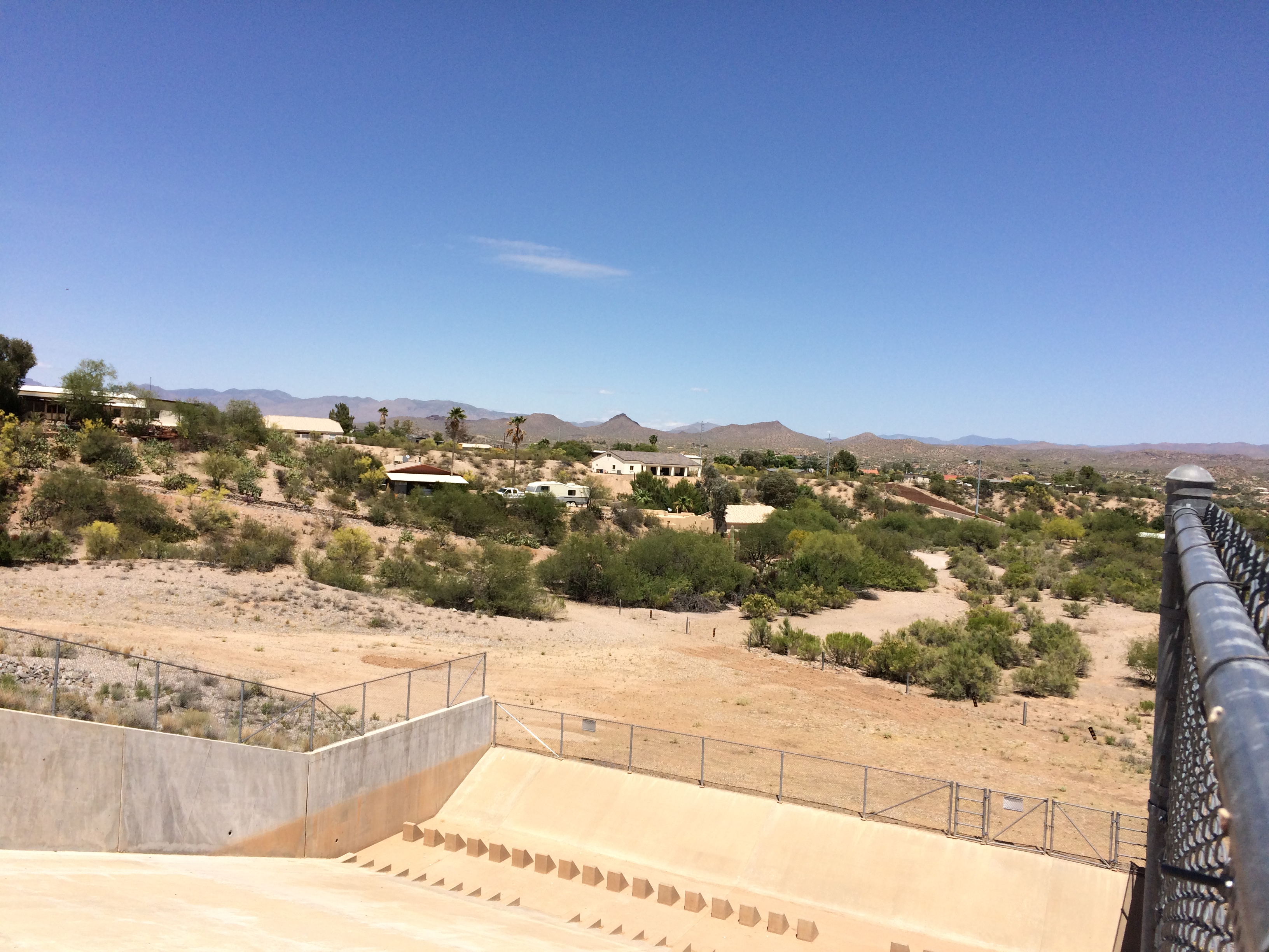
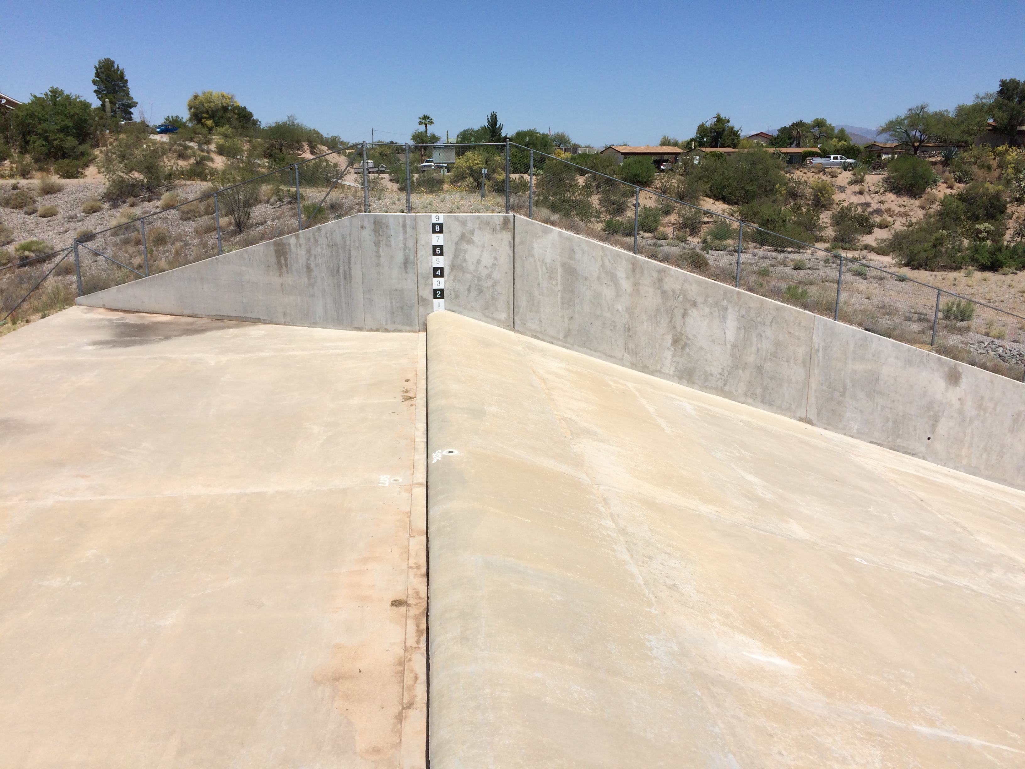
| WHAT IS TO BE OBSERVED | Staff gages in the pool and staff gage in the emergency spillway. |
|
View Larger Map |


| DRAINAGE AREA | 1.2 mi2 |
| JURISDICTION | Wickenburg, Arizona |
| WATERSHED | Lower Hassayampa |
| SECTION / TOWNSHIP / RANGE | S11 T7N R5W |
| LATITUDE | N 33° 58' 02.8" | +33.9674 |
| LONGITUDE | W 112° 44' 55.7" | -112.7488 |
| ARIZONA STATE PLANE | E 447787 | N 1080564 |
| USGS QUAD SHEET | Wickenburg 7.5-Minute |
| STAFF GAGES | 5 in pool / 1 in spillway |
| ZERO GAGE HEIGHT ELEVATION (POOL) | 2,136.66 feet NAVD88 for pool staff gages |
| ZERO GAGE HEIGHT ELEVATION (SPILLWAY) | 2,157.00 feet NAVD88 for spillway staff gage |
| STAFF GAGE RANGE | STAFF GAGE INFORMATION |
| POOL STAFFS | |
| 0 - 5 feet | Lowest gage in pool |
| 5 - 10 feet | Second gage from bottom |
| 10 - 15 feet | Middle gage |
| 15 - 20 feet | Second gage from top |
| 20 - 25 feet | Uppermost gage in pool |
| SPILLWAY STAFFS | |
| 0 - 9 feet | Painted on north wall of spillway |
 |
|
Page Last Updated: July 2020 |