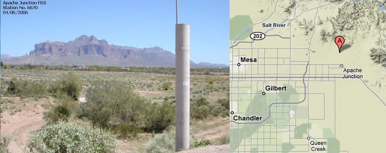
Station Name: Apache Junction FRS
|
Station ID Number History: |
6670 since 05/29/92 5640 from 10/1/87 – 5/29/92 0033 from 12/16/81 – 10/1/87 |
|
Data Begins: |
12/16/1981 |
|
Years of Record: |
20.81 (as of 10/01/02) |
|
Data Repeater: |
Sacaton Peak |
|
TRS: |
T1N-R8E-Section 08 |
|
Latitude: |
33° 26' 28" |
|
Longitude: |
111° 33' 07" |
|
Elevation: |
1,990 ft. msl |
|
Location: |
1/3 mi. northwest of Lost Dutchman Blvd. and Idaho Rd. |
|
Data Record: |
|
|
Partial Months (>10 days missing): |
03/96, 01/92, 11/87 |
|
Missing Months: |
10/87, 11/83, 12/81 |
|
Remarks: |
Records Fair |
Data Statistics for Period of Record:
|
Number of storms greater than 1 inch in 24 hours: |
24 |
|
Number of storms greater than 2 inches in 24 hours: |
1 |
|
Number of storms greater than 3 inches in 24 hours: |
0 |
|
|
|
|
Greatest 15 minute total: |
0.71" on 11/12/94 |
|
Greatest 1 hour total: |
1.30" on 08/22/92 |
|
Greatest 3 hour total: |
1.73" on 08/22/92 |
|
Greatest 6 hour total: |
1.73" on 08/22/92 |
|
Greatest 24 hour total: |
2.20" on 11/15/93 |
Water Year Totals: (Mean of Complete Water
Years [17] = 8.45 inches)
|
Water Year |
Total |
Water Year |
Total |
Water Year |
Total |
|
2010 |
|
2000 |
3.94 |
1990 |
6.89 |
|
2009 |
|
1999 |
6.14 |
1989 |
3.98 |
|
2008 |
|
1998 |
10.08 |
1988 |
M |
|
2007 |
|
1997 |
4.02 |
1987 |
6.38 |
|
2006 |
|
1996 |
4.96 |
1986 |
10.47 |
|
2005 |
|
1995 |
M |
1985 |
13.94 |
|
2004 |
|
1994 |
7.80 |
1984 |
M |
|
2003 |
|
1993 |
15.00 |
1983 |
13.58 |
|
2002 |
3.74 |
1992 |
13.86 |
1982 |
M |
|
2001 |
11.34 |
1991 |
7.52 |
1981 |
|
M: One or more months in this water year contain partial or missing data
Click here to download a .pdf (Adobe Acrobat) file containing
all daily rainfall totals for this station.