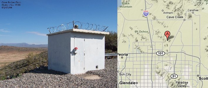
Station Name: Cave Buttes Dam
|
Station ID Number History: |
4900 since 03/01/93 6400 from 07/30/92 - 03/01/93 6620 from 10/01/87 - 07/30/92 0074 from 08/01/86 - 10/01/87 0070 from 01/25/84 - 08/01/86 |
|
Station Type: |
Rain / Stage |
|
Data Begins: |
01/25/1984 |
|
Years of Record: |
18.70 (as of 10/01/02) |
|
Data Repeater: |
Direct |
|
TRS: |
T4N-R3E-Section 15 |
|
Latitude: |
33° 43' 15" |
|
Longitude: |
112° 02' 43" |
|
Elevation: |
1,650 ft. msl |
|
Location: |
1/4 mi. North of the Happy Valley Rd. & 16th St. alignments |
|
Data Record: |
|
|
Partial Months (>10 days missing): |
None |
|
Missing Months: |
10/87, 11/84-07/86 |
|
Remarks: |
Records Poor due to high wind exposure. |
Data Statistics for Period of Record:
|
Number of storms greater than 1 inch in 24 hours: |
7 |
|
Number of storms greater than 2 inches in 24 hours: |
0 |
|
Number of storms greater than 3 inches in 24 hours: |
0 |
|
|
|
|
Greatest 15 minute total: |
0.28" on 09/03/90 |
|
Greatest 1 hour total: |
0.59" on 07/14/96 |
|
Greatest 3 hour total: |
0.67" on 07/14/96 |
|
Greatest 6 hour total: |
0.87" on 02/04/98 |
|
Greatest 24 hour total: |
1.42" on 11/15/93 |
Water Year Totals: (Mean of Complete Water Years [15]
= 5.39 inches)
|
Water Year |
Total |
Water Year |
Total |
Water Year |
Total |
|
2010 |
|
2000 |
2.52 |
1990 |
4.84 |
|
2009 |
|
1999 |
4.33 |
1989 |
1.54 |
|
2008 |
|
1998 |
8.54 |
1988 |
M |
|
2007 |
|
1997 |
3.54 |
1987 |
3.23 |
|
2006 |
|
1996 |
4.92 |
1986 |
M |
|
2005 |
|
1995 |
8.94 |
1985 |
M |
|
2004 |
|
1994 |
4.45 |
1984 |
M |
|
2003 |
|
1993 |
11.06 |
1983 |
|
|
2002 |
1.81 |
1992 |
8.98 |
1982 |
|
|
2001 |
6.69 |
1991 |
5.51 |
1981 |
|
M: One or more months contain partial or missing
data
Click Here to download a .pdf (Adobe Acrobat) file containing all daily rainfall totals for this station.