Station Name: Maryvale Municipal Golf Course
|
Station ID Number History: |
4760 since 03/02/93 6260 from 09/01/92 - 03/02/93 6575 from 10/02/91 - 09/01/92 0075 from 08/17/89 - 10/02/91 |
|
Station Type: |
Rain |
|
Data Begins: |
08/17/1989 |
|
Years of Record: |
13.13 (as of 10/01/02) |
|
Data Repeater: |
Direct |
|
TRS: |
T2N-R2E-Section 19 |
|
Latitude: |
33° 29’ 55" |
|
Longitude: |
112° 11’ 16" |
|
Elevation: |
1,200 ft. msl |
|
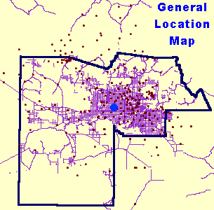
Location: |
1/4 mile north of Indian School Road and 59th Ave. |
|
Data Record: |
|
|
Partial Months (>10 days missing): |
None |
|
Missing Months: |
None |
|
Remarks: |
Records Good |
Data Statistics for Period of Record:
|
Number of storms greater than 1 inch in 24 hours: |
15 |
|
Number of storms greater than 2 inches in 24 hours: |
1 |
|
Number of storms greater than 3 inches in 24 hours: |
1 |
|
|
|
|
Greatest 15 minute total: |
0.79" on 08/27/99 |
|
Greatest 1 hour total: |
1.69" on 09/03/90 |
|
Greatest 3 hour total: |
2.32" on 07/24/92 |
|
Greatest 6 hour total: |
3.74" on 07/24/92 |
|
Greatest 24 hour total: |
3.78" on 07/24/92 |
Water Year Totals: (Mean of Complete Water Years [12]
= 7.93 inches)
|
Water Year |
Total |
Water Year |
Total |
Water Year |
Total |
|
2010 |
|
2000 |
3.07 |
1990 |
8.27 |
|
2009 |
|
1999 |
6.61 |
1989 |
M |
|
2008 |
|
1998 |
8.86 |
1988 |
|
|
2007 |
|
1997 |
4.06 |
1987 |
|
|
2006 |
|
1996 |
6.06 |
1986 |
|
|
2005 |
|
1995 |
8.82 |
1985 |
|
|
2004 |
|
1994 |
6.50 |
1984 |
|
|
2003 |
|
1993 |
12.83 |
1983 |
|
|
2002 |
M |
1992 |
16.30 |
1982 |
|
|
2001 |
9.09 |
1991 |
4.72 |
1981 |
|
M: One or more months contain partial or missing
data
Click Here to download a .pdf (Adobe Acrobat) file containing all daily rainfall totals for this station.