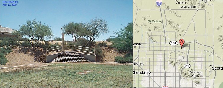
Station Name: East Fork Cave Creek Basin #3
|
Station ID Number History: |
4680 since 09/13/1994 |
|
Station Type: |
Rain/Pool |
|
Data Begins: |
09/13/1994 |
|
Years of Record: |
8.05 (as of 10/01/02) |
|
Data Repeater: |
Direct |
|
TRS: |
T4N-R3E-Section 34 |
|
Latitude: |
33 38’ 44" |
|
Longitude: |
112 02’ 24" |
|
Elevation: |
1,455 ft. msl |
|
Location: |
1/2 mi. SW of Union Hills Dr. and Cave Creek Rd. |
|
Data Record: |
|
|
Partial Months (>10 days missing): |
09/98 |
|
Missing Months: |
None |
|
Remarks: |
Records Fair |
Data Statistics for Period of Record:
|
Number of storms greater than 1 inch in 24 hours: |
11 |
|
Number of storms greater than 2 inches in 24 hours: |
2 |
|
Number of storms greater than 3 inches in 24 hours: |
0 |
|
|
|
|
Greatest 15 minute total: |
1.10" on 07/14/99 |
|
Greatest 1 hour total: |
1.57" on 07/14/99 |
|
Greatest 3 hour total: |
1.57" on 07/14/99 |
|
Greatest 6 hour total: |
1.61" on 07/14/99 |
|
Greatest 24 hour total: |
2.05" on 02/04/98 |
Water Year Totals: (Mean of Complete Water
Years [7] = 6.74 inches)
|
Water Year |
Total |
Water Year |
Total |
|
2010 |
|
2000 |
4.80 |
|
2009 |
|
1999 |
7.99 |
|
2008 |
|
1998 |
M |
|
2007 |
|
1997 |
3.39 |
|
2006 |
|
1996 |
6.06 |
|
2005 |
|
1995 |
12.48 |
|
2004 |
|
1994 |
M |
|
2003 |
|
1993 |
|
|
2002 |
3.31 |
1992 |
|
|
2001 |
9.17 |
1991 |
|
M: One
or more months contain partial or missing data
Click Here to download a .pdf (Adobe Acrobat) file containing all daily rainfall totals for this station.